WEGA in the North West United States
May 29th to June 11th 2016
Return to "Day" page
Return to Day 6 Page
Geological Background
Hebgen Lake Earthquake
In 1959 an earthquake of magnitude 7.5 near the Madison River triggered a massive landslide which moved at 100 mph and in less than 1 minute over 80 million tons of rock crashed into the narrow canyon, blocking the Madison River and forming Earthquake Lake. It was the second largest earthquake to occur in the lower 48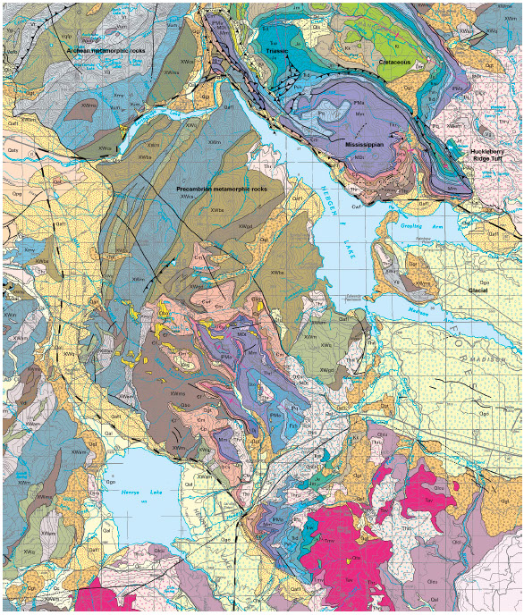 states in the 20th century, 28 people lost their lives in the event. New fault scarps as high as 6 m formed near Hebgen Lake. The major fault scarps formed along pre-existing normal faults northeast of Hebgen Lake. Subsidence occurred over much of an area that was about 16 miles north-south and about twice as long eastwest. As a result of the faulting near Hebgen Lake, the bedrock beneath the lake was permanently warped, causing the lake floor to drop.
Maximum subsidence was 6.7 m in Hebgen Lake Basin. About 130 square kilometres subsided more than 3 m, and about 500 square kilometres subsided more than 0.3 m. The earth-fill dam sustained significant cracks in its concrete core and spillway, but it continued to be an effective structure.
The U.S. 287, between U.S. 191 near the head of Hebgen Lake, all the way to the Earthquake Lake Visitor Centre, is known as the Earthquake Lake Geologic Area. There are several pullouts and turnouts with displays where the Hebgen Lake Earthquake still shows its presence on the landscape.