Sunday 15th to Monday 16th September 2013
After a regrouping for a couple of days in Broome – 3 machines at the laundromat!, eating at Matso’s, buying pearls, looking at the very hippyish street market, replenishing our food stocks – we set off for Middle Lagoon on the Dampier Peninsula.
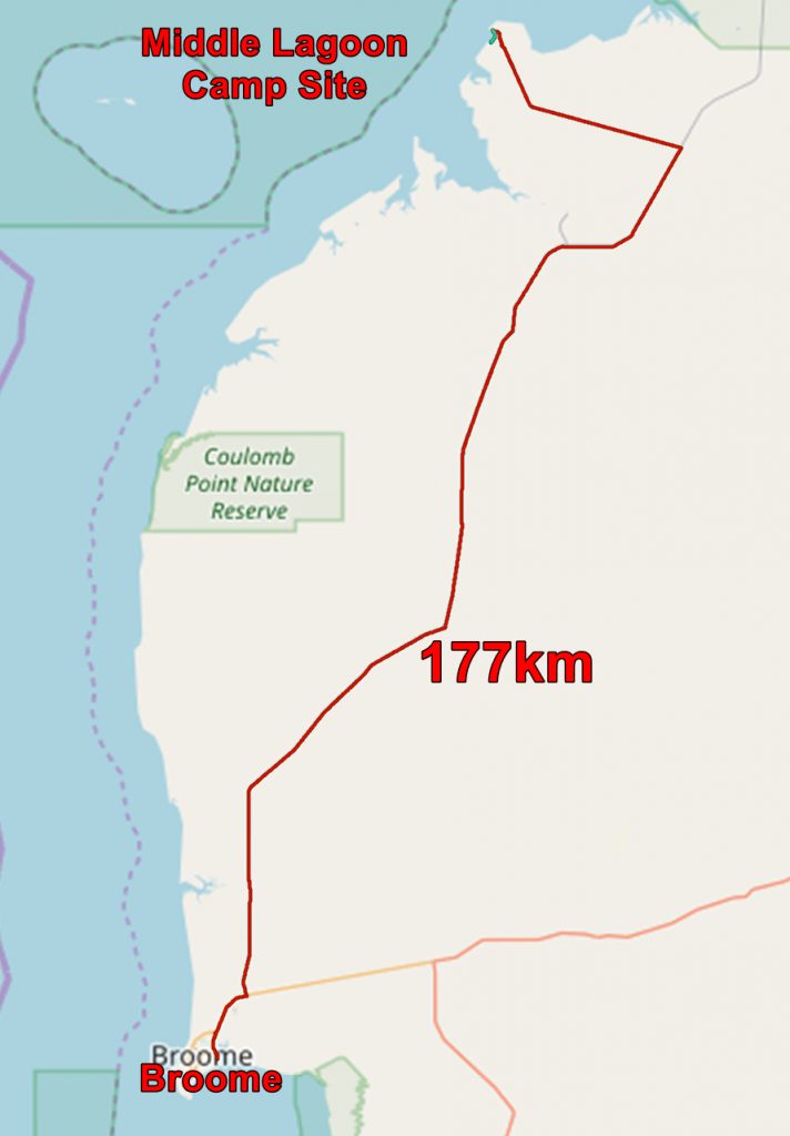
Most of the journey was on dirt roads or, more accurately, sand roads. These were rather challenging as it was difficult to see shadows and therefore undulations came as a surprise. And some of the undulations were large! However we managed to stay on the road and got to Middle Lagoon unharmed.

The geological map of the area with our route superimposed
The geological map confirms my impression that the Dampier Peninsula is a pile of sand anchored by bits of Cretaceous rock!

The geological map of the area unencumbered by my stuff
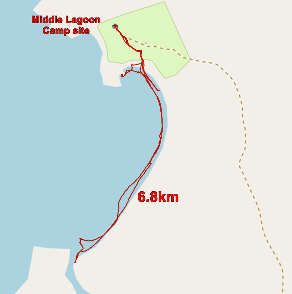
On arrival at the caravan and camp site we were told that a salt water croc had been see a few days earlier and therefore sea bathing was discouraged – not a great loss for us. We pitched our tent and went to look at the beach.

Chris on the beach, Middle Lagoon. Note the line of rocks going through her head. I think that is an aboriginal fish trap.
The tide was out and there were great areas of sand exposed. At one bay, just below our tent, we saw a line of stones across the bay which, I suspect, was a fish trap. At high tide the fish go to the landward side of the trap. As the tide falls they are trapped in the ever diminishing pool of water and can be collected at your leisure. The dam is incomplete and we did not see any trapped fish.

Chris on the beach, Middle Lagoon
After supper I was using a toothpick and out came a large filling! It was from a molar and was not painful, but I decided that I needed to get it fixed soon.
The next day I went for a long walk along the beach. Once I was away from the camp site I was on my own. Lovely, lonely beaches seem to be an Australian speciality! And once again I noticed that the headlands, protecting the coast are Cretaceous sandstone. Everything else is sand.

Looking back towards the camp site from the beach at Middle Lagoon

Looking away from the camp site along the beach at Middle Lagoon
After my walk Chris and I decided to sit on the beach – not one of our favourite occupations – and enjoy the sun.

On the beach. we were not disturbed by crocodiles or anything else.
As you may gather, neither Chris nor I are beach people, so we began to think that a return to Perth along the coast might not be what we wanted.
But here is one last look at the beach at Middle Lagoon, with some mangroves!

Mangroves on the beach, middle Lagoon
The application below shows you various .kmz files. If you open them with Google Earth you will get our route and the photographs I took, at the spot I took them, displayed in all their glory! Download the file you want, store it somewhere on your computer, open Google Earth and open the file.
[slickr-flickr tag=”Lagoon”]